Guide
Stretching your print
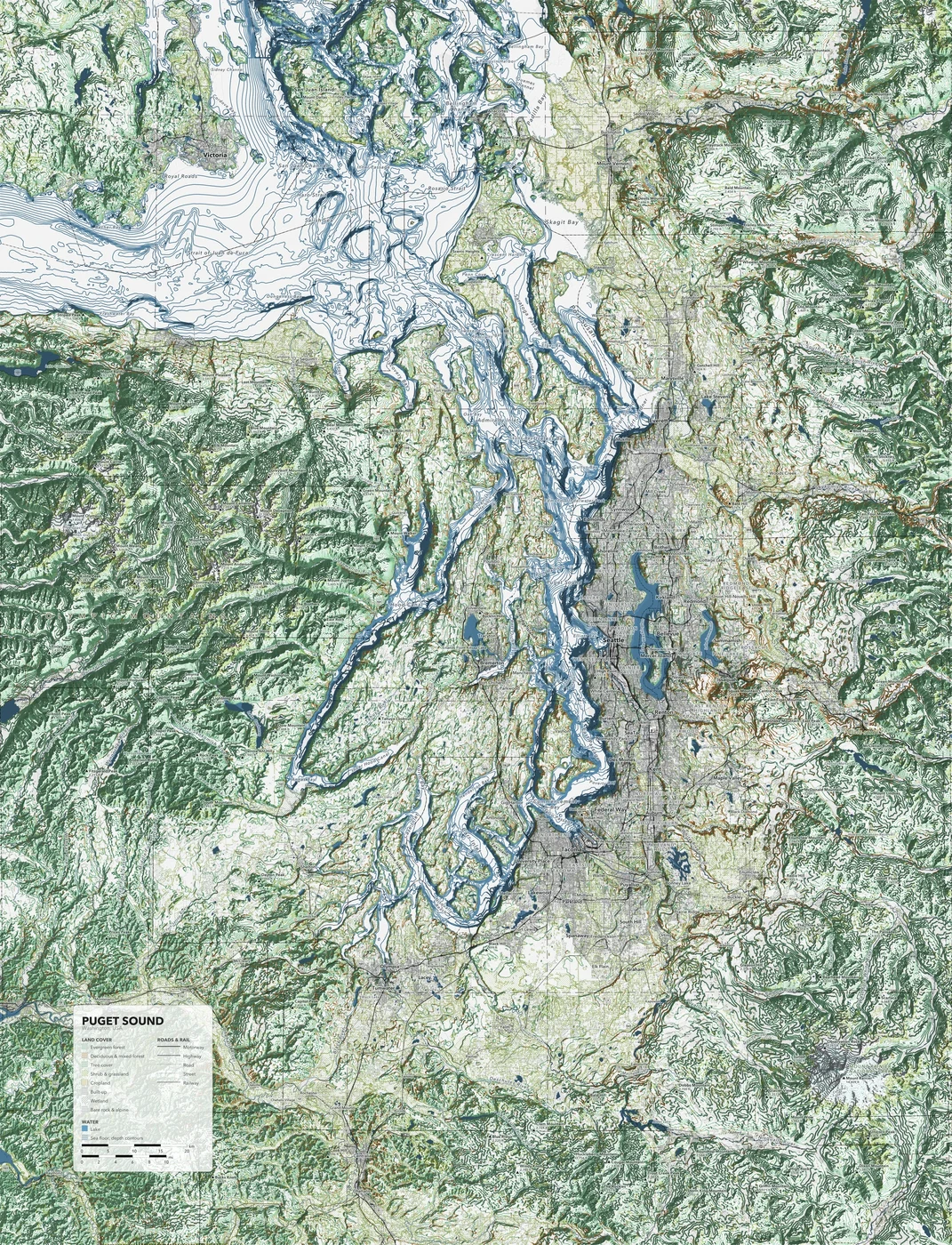
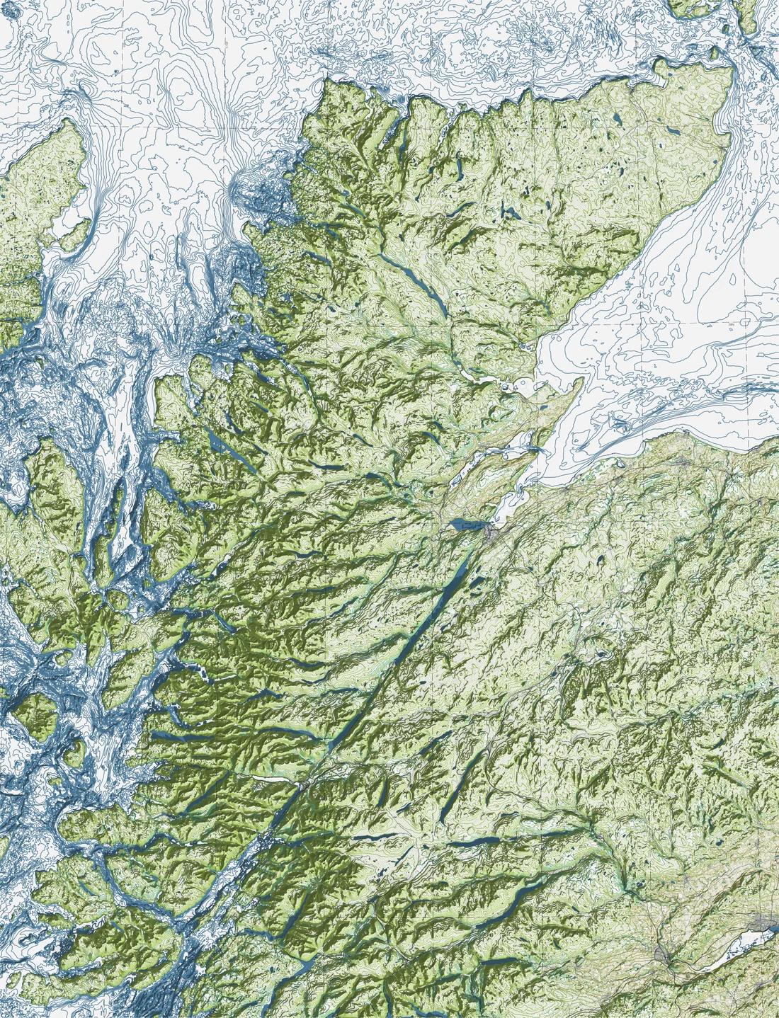
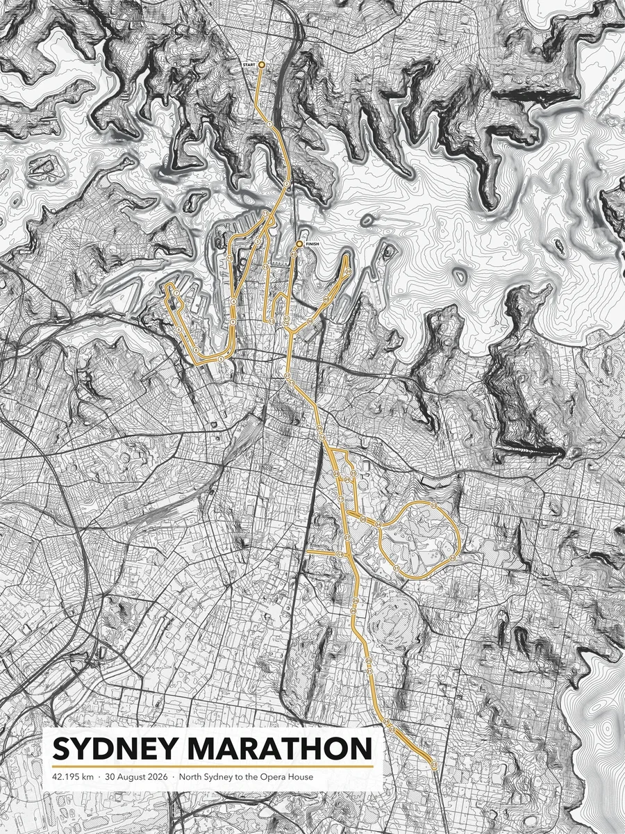
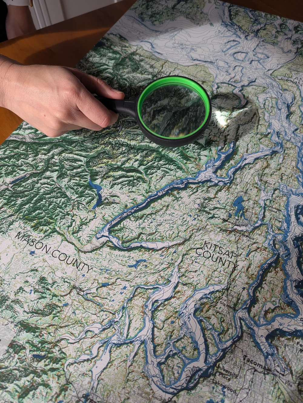
A rolled print arrives rolled on canvas, with an inch of image past every edge of the frame so it wraps round the sides with no white showing, and an inch of white canvas beyond that to staple down. With a set of stretcher bars and a few common tools it takes an hour or two, or a framer can do it for you: ask for a gallery wrap on ¾ in bars, since the image is already sized for one. Take your time on the first side; the rest follow it.
What you’ll need
Stretcher bars
- Four ¾ in deep stretcher bars, two the frame’s width and two its height (art supply stores sell them in pairs, by length)
- A cross brace for frames longer than 36 in
- Corner keys (small wooden wedges), two per corner; they usually come with the bars
Tools
- Staple gun with ⅜ in (10 mm) staples, such as an Arrow T50
- Canvas stretching pliers
- Rubber mallet
- Tape measure
- A clean, flat table covered with a soft sheet or towel
To hang it
- Two D-rings with screws and picture wire, or a sawtooth hanger for small frames
- Small screwdriver
Step by step
- Let the print relaxUnroll it face up somewhere clean and leave it a few hours, or overnight, to flatten. Handle the canvas by its white border, with clean dry hands. Never wet a printed canvas.
- Assemble the framePush the mitered corners together and tap them home with the mallet, keeping the raised lip of each bar on the same face; that face goes against the canvas. Fit the cross brace if your frame has one. Measure both diagonals: when they match, the frame is square.
- Center the frame on the printLay the print face down on the soft sheet and set the frame on it, lip down. The image runs 1 in past the frame on every side: ¾ in covers the sides and the last ¼ in folds onto the back. Our badge and the data credits are printed small along the image’s bottom edge, so they fold onto the back of the frame’s bottom bar.
- Staple the middle of each sideFold the middle of one long side over the bar and put three staples into the back of the bar, near its inner edge. Turn to the opposite side, pull the canvas taut with the pliers and staple its middle the same way. Do the two short sides next. Check that the image’s edge sits just past the back edge of the bar all round.
- Work out toward the cornersMoving out from the middles, put a staple every 2 in or so, alternating between opposite sides so the tension stays even. Pull firmly with the pliers, but not so hard that the image edge bows. Stop about 2 in short of each corner.
- Fold the cornersAt each corner, pull the canvas straight over one side and staple it. Fold the excess on the other side into a neat diagonal tuck, like making a bed, crease it flat against the side, and staple it on the back. Keep all four folds facing the same way so they look alike from the front.
- Tighten with the corner keysTap two keys into the slots at each corner, gently, just until the canvas sounds like a drum when you flick it. Keep a couple spare: if the canvas ever slackens with the seasons, a light tap on the keys tightens it again.
- Hang itScrew a D-ring into each long bar about a third of the way down and string the wire between them. The white border can stay as it is, folded flat behind the staples.
Caring for your print. Hang it out of direct sunlight and away from heaters and damp walls. Dust it with a soft, dry cloth; never use water or cleaner on the surface.